


Description
Product Overview
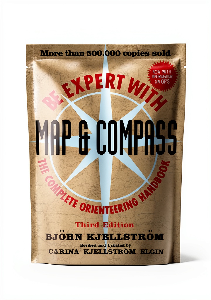
Wiley’s Hiking & Camping Atlas delivers a comprehensive collection of trail maps, campsite details, and safety tips for outdoor enthusiasts. The 3rd edition eBook spans 382 pages, featuring enhanced typesetting for clear readability, X‑Ray for quick reference, and Word Wise to aid comprehension. Optimized for Kindle devices, the 12.5 MB file offers fast loading and seamless page flipping, ensuring you can access critical information even in remote areas.
Usage
Designed for hikers, backpackers, and weekend campers, this atlas serves as a digital field guide on any Kindle or compatible app. Whether planning a multi‑day trek, locating water sources, or identifying nearby shelters, the searchable index and clickable map links let you find data instantly. The screen‑reader support ensures accessibility for all users, making it a reliable companion on any adventure.
Why Choose Us
Wiley combines decades of cartographic expertise with modern e‑reading technology. The atlas benefits from rigorous fact‑checking, high‑resolution mapping, and continuous updates through Kindle’s cloud delivery. Our commitment to quality means you receive an error‑free, professionally formatted guide that enhances safety and confidence on the trail.
Key Features
- Enhanced typesetting provides crystal‑clear text and map details for easy reading in any lighting condition.
- Built‑in X‑Ray lets you jump to specific sections, such as elevation charts or campsite listings, without scrolling.
- Word Wise highlights difficult terms, helping beginners understand technical hiking vocabulary.
- 12.5 MB file size ensures quick download and smooth performance on all Kindle devices.
- Dedicated customer support offers assistance with file access, updates, and usage tips.
FAQ
Is this atlas compatible with all Kindle models?
Yes, the eBook works on any Kindle device and on the Kindle app for iOS, Android, and PC.
Can I print maps from the Kindle version?
While the eBook is digital‑only, you can use Kindle’s print‑screen feature to capture maps for personal reference.
How often is the content updated?
Wiley releases periodic updates; Kindle will automatically download the latest version when connected to Wi‑Fi.
Does the book include GPS coordinates?
Key trailheads and campsites include latitude and longitude coordinates for easy import into navigation apps.
What if I have trouble accessing the file?
Contact our support team for prompt assistance; we can resend the download link or troubleshoot device issues.


 Northern Ireland Travel Guide Kindle Edition 2025 Updated Map and Tips
Reviews
There are no reviews yet.